Land Use Planning
Los Angeles chief land use objectives are to support the sustainability and growth of their neighborhoods, commercial areas, mixed-use areas, and boulevards within relation to the city’s circulation. [2] Los Angeles current land use objectives are found in The General Plan Framework Element (adopted 2001), which replaced Concept Los Angeles (adopted in 1974). To plan accordingly, population models from SCAG (Southern California Association of Governments) were used to make The Framework Element as accurate as possible for predicting the future. [2] Land use, which was updated in The Framework Element consists of thirteen sub-categories, single-family residential, multi-family residential, neighborhood districts, community centers, regional centers, downtown centers, general commercial areas, mixed-use boulevards, industrial, transit stations, pedestrian-oriented districts, historic districts, and over concentration of density. One shortcoming of Concept Los Angeles was the lumping of neighborhood districts, community centers, regional centers, downtown centers, mixed-use boulevards, and industrial districts into the category of commercial uses. [2] The current plan, The Framework Element has a much greater land use resolution with the addition of the new categories to plan more accurately for the future. The most important sub-categories of land use will be briefly described in later paragraphs. For a more detail understanding please visit The Framework Element of the General Plans website.
Land Use
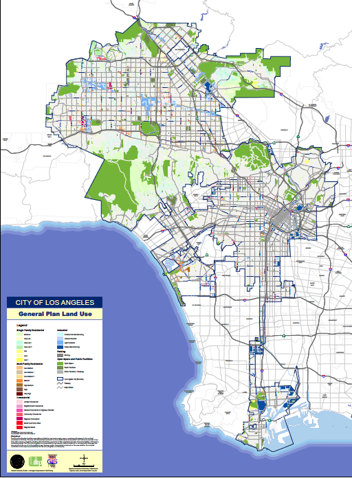
Los Angeles General Plan Land Use [3]
Zoning
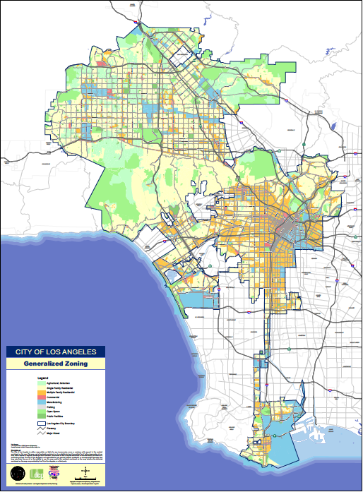
Los Angeles General Zoning [4]
[1] http://en.wikipedia.org/wiki/Los_Angeles,_California#Economy
[2] "Executive Summary." Executive Summary. Envicom Corporation, n.d. Web. 17 July 2013.
[3] http://cityplanning.lacity.org/MapGallery/Image/Citywide/GPLanduse.pdf
[4] http://cityplanning.lacity.org/MapGallery/Image/Citywide/Zoning.pdf
[2] "Executive Summary." Executive Summary. Envicom Corporation, n.d. Web. 17 July 2013.
[3] http://cityplanning.lacity.org/MapGallery/Image/Citywide/GPLanduse.pdf
[4] http://cityplanning.lacity.org/MapGallery/Image/Citywide/Zoning.pdf
